
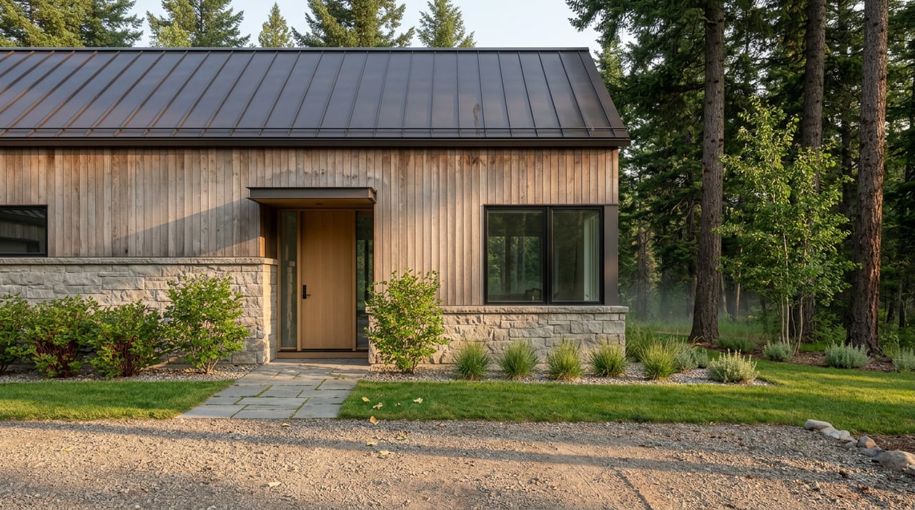
Picture two homes half a mile apart on US-191, both built in the same decade, both drawing water from a private well, both flushing into a septic tank buried somewhere in the yard. On paper, in an MLS listing, in a casual drive-by, they look identical. But one of those parcels has already been annexed into a legal boundary that did not exist five years ago, and the other has not. That single fact, invisible on any listing sheet, now shapes how each property will be financed, assessed, and eventually connected to public infrastructure.
This is not a hypothetical someone dreamed up to make a point. It is the actual shape of what is happening along the Gallatin Canyon corridor right now, and it is the kind of detail a buyer's agent needs to check before an offer goes in, not after.
The Gallatin Canyon County Water and Sewer District, known locally as GCCWSD, was formed in December 2020 to address a problem that had been building for years along the river corridor: a dense mix of private wells and septic systems sitting close enough to the Gallatin River to raise water quality concerns. Since then, the district has moved from formation to action. Ordinance 2024-1 annexed 25 properties into the district effective May 9, 2024, and Ordinance 2024-2 added four more properties effective July 1, 2024.
That is not an abstract planning exercise. It is a parcel-by-parcel legal determination of which specific properties along the corridor now sit inside a sewer district boundary and which do not. If you are looking at a Gallatin Canyon property, whether it was included in one of those ordinances is a fact worth confirming directly with the district, because it is not something a septic inspection or a standard title search will surface on its own.
Being annexed into GCCWSD does not mean sewer service arrives tomorrow. The district's own project page describes a plan for nearly five miles of sewer main along Highway 191 and the Canyon Area corridor, collected largely by gravity to a lift station and treated at an upgraded Membrane Bioreactor facility, with treated water returned to the corridor for groundwater infiltration or irrigation reuse. That is a multi-year infrastructure build, not a switch that flips at closing.
What annexation does mean is that a property has entered the queue. Once the district secures financing and completes construction, annexed properties become the ones expected to connect and pay their share of the system, while properties left outside the boundary continue on private well and septic indefinitely, at least under the current plan. Mace Mangold, vice president of infrastructure at WGM Group and the project's lead engineer, put the underlying problem plainly when he told local officials that "our number one challenge is a sewer challenge."
This project carries a real number attached to it, and as of October 2025 that number was making the funding conversation complicated. Explore Big Sky reported that the canyon sewer project carries an estimated $50 million price tag, with the district hoping a targeted economic development district and tax increment financing arrangement could raise $10 to 20 million of that from new development within the boundary. Gallatin County commissioners ultimately declined to support that financing structure.
The Big Sky Resort Area District stepped in with more modest support instead, approving $200,000 per year in operating funds for both fiscal year 2026 and fiscal year 2027 to keep the district moving. That is meaningful continuity money, but it is a fraction of what full construction financing will eventually require. For anyone evaluating a Gallatin Canyon property today, the practical takeaway is that the timeline for actual sewer connection remains genuinely open, and the financing mechanism that would speed it along is currently unresolved.
There is a second layer worth knowing before you write an offer. In December 2025, the Bozeman-based conservation group Upper Missouri Waterkeeper filed a lawsuit against the Montana Department of Environmental Quality, alleging the agency failed to provide adequate public notice on its phased approval of the project. By March 2026, Gallatin County commissioners were publicly backing calls for more transparency from DEQ on the same project.
None of this is a reason to view the canyon with alarm. It is a sign of a genuinely active regulatory process working through the normal friction of a large infrastructure build near a protected river. But it is exactly the kind of development that a national listing portal will never mention and a local buyer's agent should be tracking, because it affects how confidently anyone can predict a connection date for an annexed property.
Sewer annexation is the newest wrinkle in Gallatin Canyon diligence, but it sits alongside an older one that catches buyers off guard just as often. Gallatin County's own floodplain maps are based on a FEMA Flood Insurance Study with an effective date of April 21, 2021, and the county requires permits for grading, excavation, fill placement, bank stabilization, and construction within the regulated floodplain along the river.
Here is the part that surprises people: floodplain designation does not show up in a standard title search. A licensed septic and site engineer working in Gallatin County has flagged a specific mislabeling problem that happens often enough to name directly: when a property's floodplain map comes back marked "Zone D" or "Map Not Printed," that simply means a flood study has never been completed for that stretch, not that the property is free of risk. Zone A, B, C, and V are all designated flood risk areas, and Zone D is an information gap, not a clean bill of health, yet it frequently gets reported to buyers as "outside the floodplain."
| What the map says | What it actually means |
|---|---|
| Zone A, B, C, or V | Designated flood risk area, permitting required for river-adjacent work |
| Zone D or "Map Not Printed" | No flood study has been completed, not a determination of low risk |
For river-corridor property in the canyon, checking this directly with Gallatin County's floodplain office before writing an offer takes one phone call and closes a gap that a title company will not close for you.
None of this should read as a reason to hesitate on Gallatin Canyon property. The corridor remains one of the more distinctive stretches of river-adjacent land in Southwest Montana, and neither the sewer timeline nor the floodplain nuance changes the fundamentals that draw people there. What changes is the specific list of questions worth asking before contingencies expire:
This is also useful context for anyone considering the broader Big Sky area, since a similar pattern is playing out next door. The Firelight Meadows County Water and Sewer District, covering 216 homes in the Firelight neighborhood, was approved by voters in May 2025 for a comparable septic-to-sewer transition. If you are weighing Gallatin Canyon against property closer to Big Sky itself, this same annexation-versus-not distinction is worth asking about there too.
Does being in the sewer district boundary raise my property's value? Not automatically, and not on a fixed timeline. Future public sewer access can be a long-term positive, but with financing still unresolved as of this writing, it is a future consideration rather than a current one.
Will I be forced to abandon my septic system if my property is annexed? Annexation puts a property in position to eventually connect once construction is financed and completed. It does not require immediate action, and the district's own materials describe this as a multi-year phased process.
Is this only a Gallatin Canyon issue? The underlying pattern, wells and septic giving way to district-managed infrastructure near sensitive waterways, is showing up across the broader Big Sky area, including the separate Firelight Meadows district next door.
Where can I check a specific parcel's annexation status? GCCWSD maintains contact information directly on its site, and reaching out with a parcel number is the most reliable way to get a current answer.
Every one of these facts changes depending on exactly where a property sits along the corridor, and the only way to get a real answer is to check the parcel itself against the district's current boundary and the county's current floodplain map. That is the kind of groundwork Cheryl Ridgely walks Gallatin Canyon buyers and sellers through before an offer goes in, not after. If you are looking at a specific address along US-191 and want a clear read on where it stands, Let's Connect.

Cheryl leads with passion and professionalism and specializes in second homes, vacation rentals, investment, commercial, and development properties. If you’re looking for local market knowledge and insight, connect with Cheryl as a trusted resource.
CHERYL RIDGELY
1805 W Dickerson St Bozeman, MT 59715